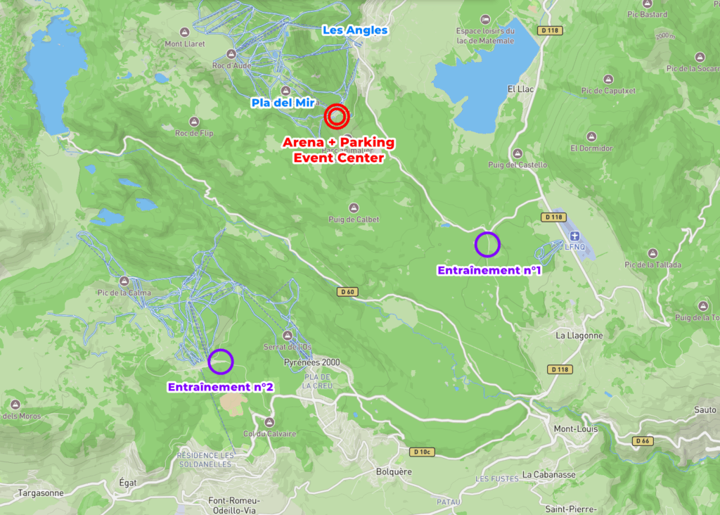
Training n°1
General information
Date : The training will be available from Friday, August 1st at 10:00 PM to Tuesday, August 5th at 12:00 PM.
⚠️ For environmental reasons, night-time training is strictly prohibited.
Course planner : Benoît Peyvel
Types of flags : 30×30 with number
Timing : no SportIdent
Collect your maps : To be collected at the event office located at the arena in Pla del Mir. (Link Google Maps) :
– on Friday, August 1st between 9:30 AM and 6:00 PM
– on Saturday, August 2nd between 8:30 AM and 3:00 PM
– on Sunday, August 3rd between 8:30 AM and 2:30 PM
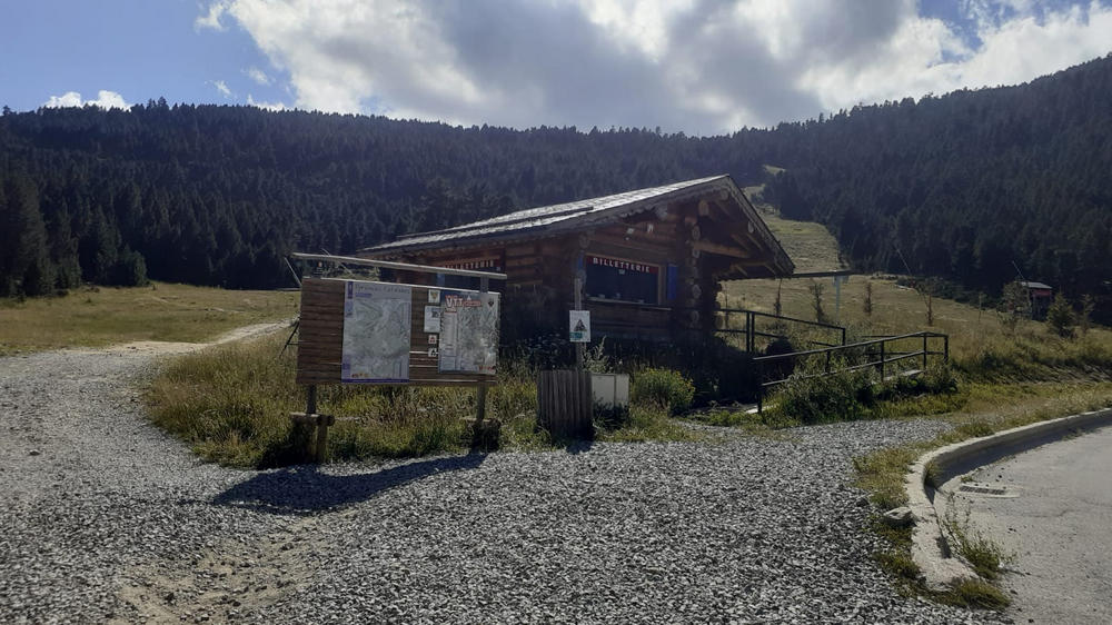
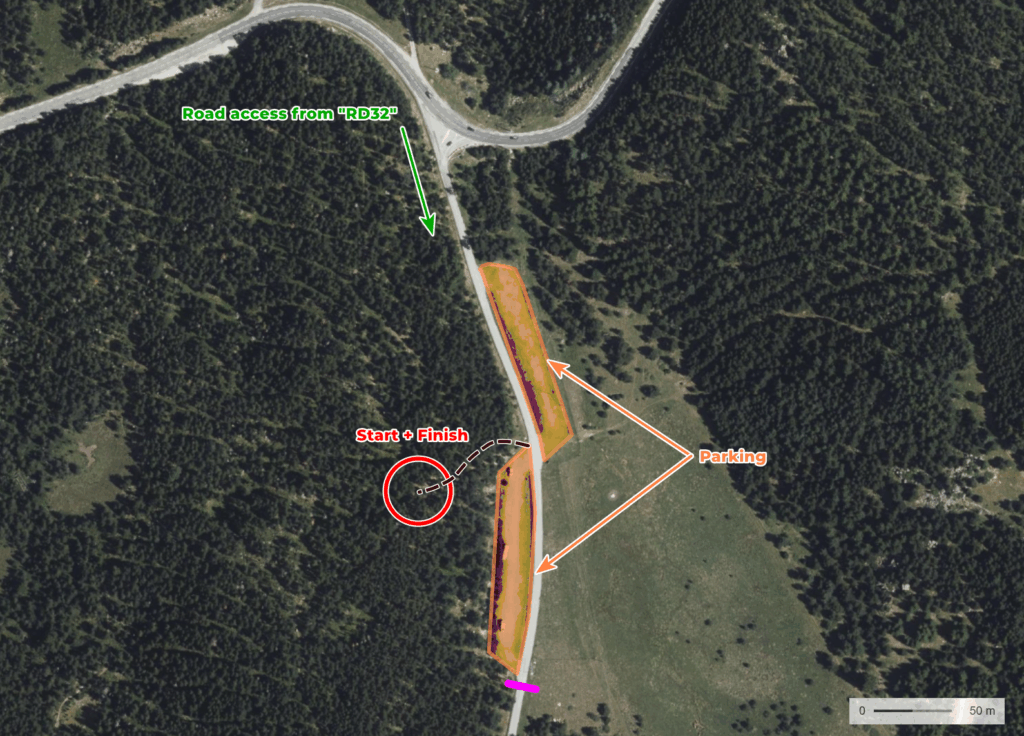
Training n°1 parking location : Link Google Maps (8 minutes by car from Pla del Mir)
Map and terrain
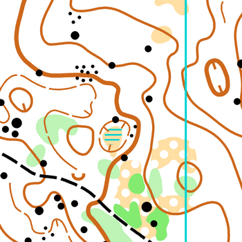
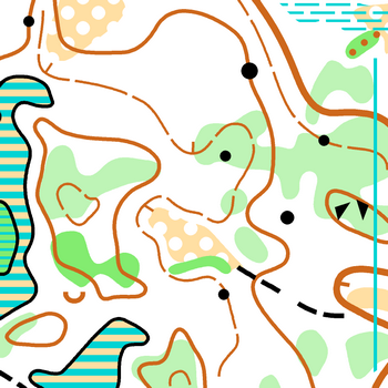
Name : La Quillane
Surveyed : Summer 2022, updated 2025
Map makers : Ray Hulse & Léo Falcone
Scale : 1:10000
Contour interval: 5m
Terrain : Altitude terrain mainly in forests. Some wet areas and distinctive rocky features. Very good runnability.
Map sample
Courses
- 1 race violet (hard orienteering)
- 1 race yellow (medium orienteering)
- 1 race green/blue (easy orienteering)
Instructions for training n°1
- The training is self-guided and only accessible during the specified period
- It takes place in a sensitive natural area (particularly the wetland zones), so we ask you to respect these areas.
- Parking outside the designated parking zones is strictly prohibited.
Livelox
Download your GPS tracks : Livelox Training 1
Training n°2
General information
Date : The training will be available from Friday, August 1st at 10:00 PM to Tuesday, August 5th at 12:00 PM.
⚠️ For environmental reasons, night-time training is strictly prohibited.
Course planner : Eva Jurenikova
Types of flags : 30×30 with number
Timing : no SportIdent
Collect your maps : To be collected at the event office located at the arena in Pla del Mir. (Link Google Maps) :
– on Friday, August 1st between 9:30 AM and 6:00 PM
– on Saturday, August 2nd between 8:30 AM and 3:00 PM
– on Sunday, August 3rd between 8:30 AM and 2:30 PM
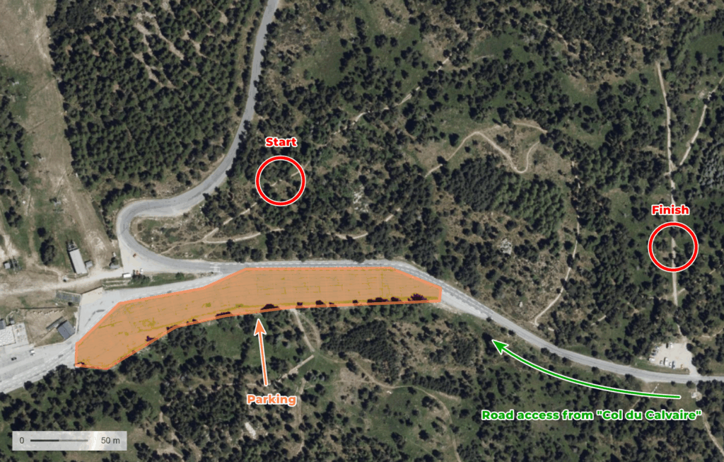
Training n°2 parking location : Link Google Maps (23 minutes by car from Pla del Mir)
Map and terrain
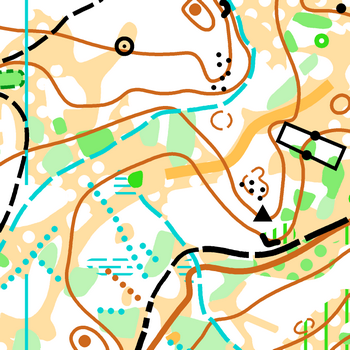
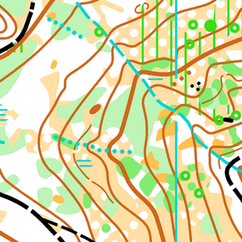
Nom : Les Airelles
Surveyed : Summer 2022, uptated 2025
Map maker : Coti
Sacale : 1:10000
Contour interval : 5m
Terrain : Altitude terrain mainly in forests, with a good density of tracks and paths. Some wet areas with beautiful rocky features.
Map samples
Races
- 1 race violet (hard orienteering)
- 1 race yellow (medium orienteering)
- 1 race blue (easy orienteering)
Instructions for training n°2
- The training is self-guided and only accessible during the specified period.
- It takes place in a sensitive natural area (especially the wetlands), so we kindly ask you to respect these zones.
- Parking outside the designated parking areas is strictly prohibited.
Livelox
Download your GPS tracks : Livelox Training 2