Results and Livelox
- See the results : MD results by course | MD results by category | Winsplits MD Analysi
- Download your GPS tracks : Livelox MD
General information
Date : Saturday, August 2, 2025
Organization : CCIO
Course director: Benoît Peyvel
Circuit controller : Matthieu Puech
Course planner : Eva Jurenikova
Timing SI : Richard Heyries
French national ranking : No
Timetable
Event office : from 8:30 AM
Start times : from 11:00 AM to 13:00 PM (Assigned start time for all categories except OPEN and SHADOWED)
List of MD Start Times : Schedules by category // Schedules by club // List of OPEN ET SHADOWED (Free start)
Course closure : 3:00 PM
Awards ceremony: Sunday, August 3rd from 2:00 PM (combined results over the two days)
Access
Directional signs : Junction of Route du Pla del Mir and Avenue de Mont Louis (Les Angles)
Localisation Pla del Mir: Link Google Maps
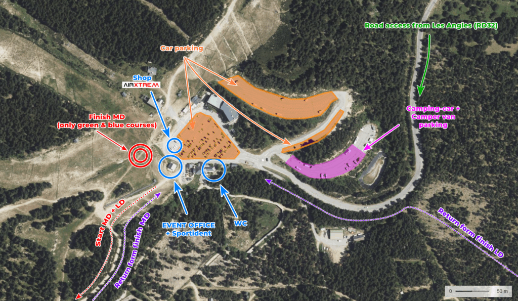
Distance Parking > Arena : 0,1km – 0,4km
Distance Arena > Start : 1,4km (75mD+)
Distance Finish > Arena : 1,8km (Courses Bleu and Vert : 0,1km)
Map and terrain
Name : Pla del Mir & Forêt de Barres
Surveyed : Summer 2022, updated 2025
Map makers : Ray Hulse & Léo Falcone
Scale : 1:10000 (1:7500 for some courses)
Contour interval : 5m
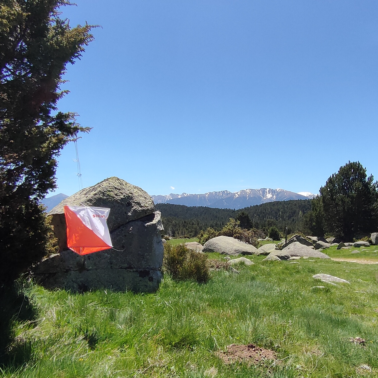
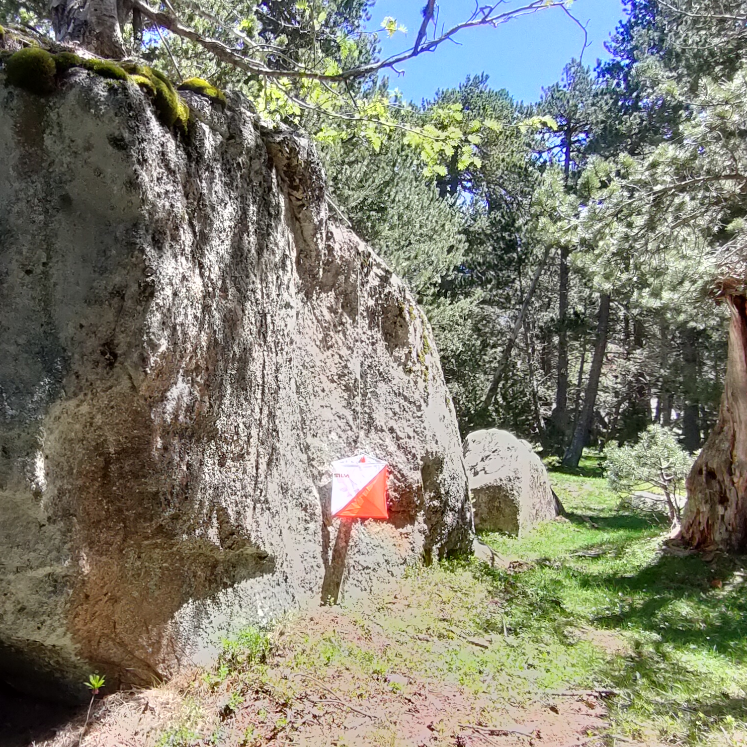
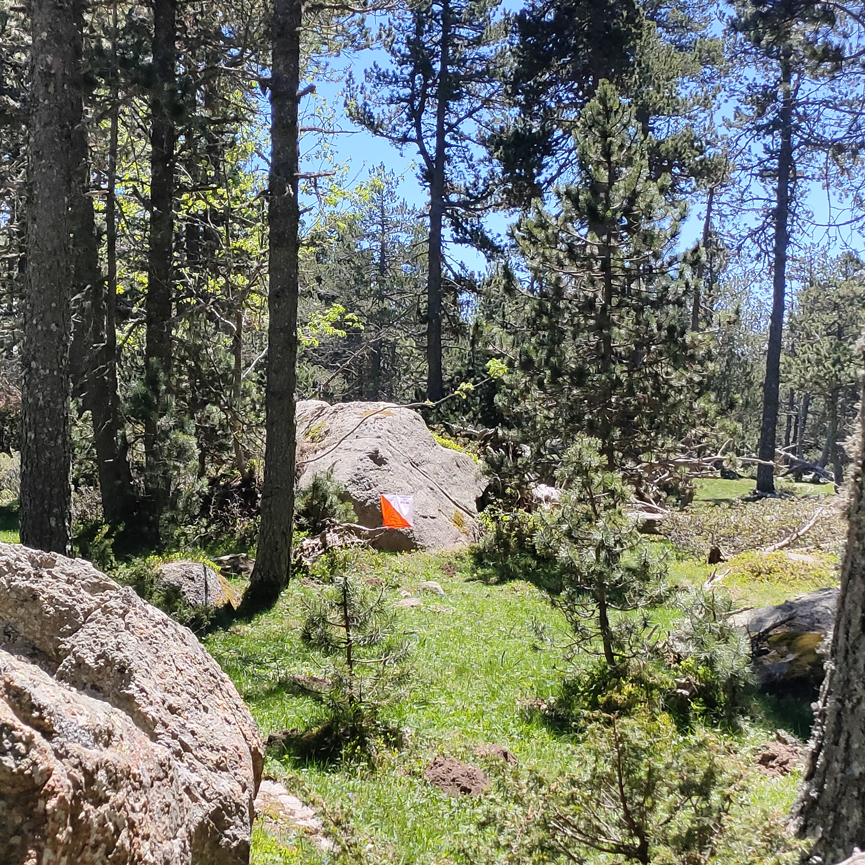
Terrain : High-altitude terrain, mainly forested. Some wet areas and distinctive rocky features. Very good runnability. Undoubtedly one of the most beautiful terrains in the Pyrenees !
Map samples
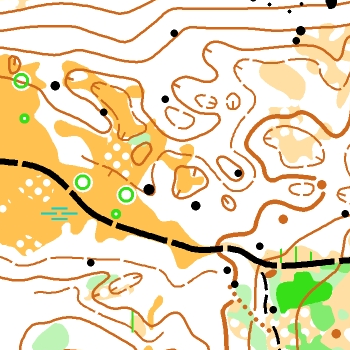
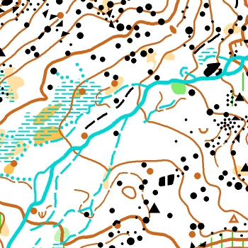
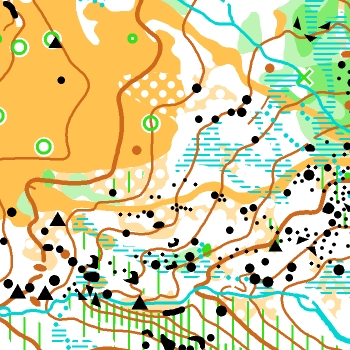
Pictures from the terrain
Fees and regsitration
Visite the « registration » page
Courses, category distribution et characteristics
| Courses | Category | Characteristics | Scale |
| Violet XXL | H21E | 5,0km, 250m+, 17 controls | 1:10000° |
| Violet XL | H20, H21, H35, H40, H45, D21E | 4,5km, 220m+, 16 controls | 1:10000° |
| Violet L | H18, H50, D20, D21, D35, D40, OPEN VIOLET LONG | 4,0km, 190m+, 13 controls | 1:10000° |
| Violet M | H55, D18, D45 | 3,9km, 190m+, 11 controls | 1:10000° |
| Violet S | H60, H65, D50, D55, OPEN VIOLET COURT | 3,03,0km, 140m+, 12 controls | 1:7500° |
| Violet XS | H70, H75+, D60, D65, D70, D75+ | 2,3km, 80m+, 10 controls | 1:7500° |
| Orange | H16, D16, OPEN ORANGE | 3,3km, 170m+, 11 controls | 1:10000° |
| Jaune | H14, D14, OPEN JAUNE | 22,8km, 90m+, 10 controls | 1:10000° |
| Bleu | H12, D12, OPEN BLEU | 1,3km, 50m+, 6 controls | 1:7500° |
| Vert | H10, D10, SHADOWED | 1,1km, 50m+, 5controls | 1:7500° |
MD Races instructions
1/ Safety
- Organization phone number: +33 6 88 64 64 32
- Emergency number : call 15 or 112
- Possible presence of animals (cattle, horses, deer). Do not approach the animals, remain cautious.
- Two beehives are marked on the map in forbidden zones (IOF ISOM symbol no. 709).
- Presence of the plant Wolf’s bane (Aconitum lycoctonum subsp. vulparia), especially in wet areas. In case of contact with skin, wash hands and avoid touching eyes or mouth.
- In case of withdrawal, please report to the GEC located at the arena.
2/ Timing
- Sportident system without SIAC : no touch free.
- The start is triggered by punching the unit located on the start line (start of timing).
- The finish is recorded by punching the unit on the finish line (stop of timing).
- SI card clearing is done at the arena (Event center).
3/ Start
Procedure :
H-3 Call of participants
H-2 Control descriptions available
H-1 Line-up in front of the map
H-0 Take the map and punch the start unit
- Start times are assigned, except for Open and Shadowed categories.
If late, please contact the organizers. - You may leave a jacket at the start. It can be retrieved on the return route to the arena.
Remaining jackets will be brought back to the arena by the organization after the last start. - No toilets or water at the start.
4/ Finish
Finish n°1 (all courses except blue and green)
- Finish is recorded by punching the unit on the finish line (stop of timing).
- The route from the last control to the finish line is taped.
- A map extract is provided to return to the arena. Some sections are taped to ease the return.
- Jackets left at the start can be easily retrieved on the return to the arena.
- No water at the finish. Refreshments (water and fruit) are available at the arena.
Finish n°2 (blue and green courses only)
- Finish is recorded by punching the unit on the finish line (stop of timing).
- Finish No. 2 is located near the arena and marked with a “CCIO” flag.
- No taping between the last control and the finish line.
- The route from the last control to the finish line is taped.
5/ Technique
Crossing areas of Alpine Rose (Rhododendron ferrugineum) can be easier by following animal tracks. These low vegetation areas are mapped with IOF ISOM symbols no. 407 and no. 409.
6/ Biodiversity and Environmental Protection
The race takes place in a sensitive natural area (Natura2000), with wetland zones. Please strictly respect these fragile environments.
Enjoy !